Features Valsavarenche Montagne Sauvage
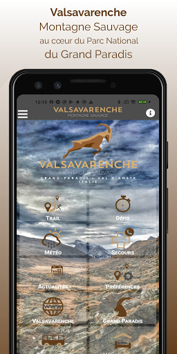
Chamois, ibex and marmots will accompany you throughout your outings.
You will walk the paths of a preserved valley, with magnificent panoramas of Gran Paradiso (4061m) and the peaks of this alpine valley.Once the application is installed, you will be able to download maps for offline operation: Open Topo Map or Open cycle Map.
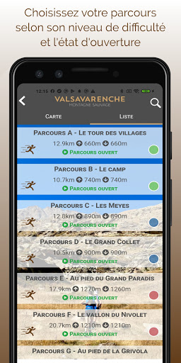
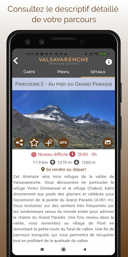
The application also embeds all the routes as well as the associated altitude profiles.Many features will make your trail run easier:• location and orientation on detailed maps using the GPS of your smartphone• description of the routes and points of interest on the route• tracking alert to be notified if you stray from the course• participation in the DéfiTrail timed routes• recording of your times• sending predefined messages by SMS to your contacts while running• reporting a problem on the route• adding comments• sharing on social networks• 5-day weather forecast (source OpenWeatherMap)• emergency module: triggering a call or sending an emergency SMS in the event of a problemAccess to certain features requires that you use a Trace de Trail user account.Note: Continued use of GPS running in the background can dramatically decrease your battery life.
Social Features
Connect and share with friends and the community.
Camera Features
Advanced camera features with editing capabilities.
Weather Features
Get accurate weather forecasts and real-time updates.
See the Valsavarenche Montagne Sauvage in Action
Get the App Today
Available for Android 8.0 and above